
Saugatuck River, and west bank (Photo/John Maloney)
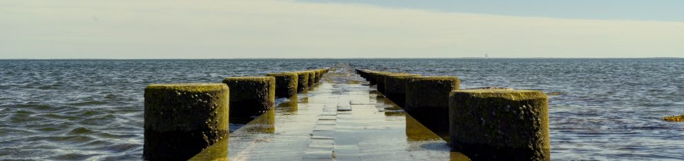
Saugatuck River, and west bank (Photo/John Maloney)

Greens Farms train station sunrise (Photo/Richard Abramowitz)

Wakeman Town Farm (Photo/Celia Campbell-Mohn)

Breezy at Compo Beach this morning (Photo/Molly Alger)

Sunset at PJ Romano Field — 6th grade PAL football (Photo/Tara Welch)

Staples High School sunset … (Photo/Jennifer Kobetitsch)

… and Coleytown Middle School (Photo/Stephanie Tang)
Posted in Pic of the Day, Staples HS

Wilton Road (Photo/John Maloney)

Just a few more hours … ! (Photo/Duane Cohen)

Tender moment, Compo’s South Beach (Photo/Ken Schwarz)

One view of Compo Beach, early fall … (Photo/Jamie Walsh)

… and another (Photo/Ken Schwarz)

… and a third (Photo/Loretta Hallock)
Posted in Beach, Pic of the Day

Click here to help support “06880” via credit card or PayPal. Any amount is welcome, appreciated — and tax-deductible! Reader contributions keep this blog going. (Alternate methods: Please send a check to “06880”: PO Box 744, Westport, CT 06881. Or use Venmo: @blog06880. Or Zelle: danwoog@gmail.com. Thanks!)