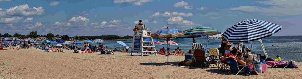
We’ve mentioned before how rocky Compo Beach was — for nearly all its existence.
Not until a major public works project in the late 1950s/early ’60s did Compo become the sandy “beach” we know and love today.
But how rocky was it?
Check out this (undated) photo. And wear your flip flops.
Or army boots.

(Photo courtesy of Karen Verelley)
(Friday Flashback is one of “06880”‘s many regular features. If you enjoy this — or anything else on our website — please consider a tax-deductible contribution. Just click here. Thank you!)

The south beach still looks like that today!
Is this picture from Burying Hill beach?
Note the modest homes in the background.
That actually could be Burying Hill beach, now that you mentioned it.
If we go back 60 years, Burying Hill beach had so many rocks that if I had 5 dollars for every rock, I’d have more money than Elon Musk and Bill Gates combined. But now I’m spoiled. I wouldn’t go to any beach on the east coast of the United States unless it was below Exit 63 in Florida. – not Virginia Beach, not Myrtle Beach and not even Jacksonville Beach . It’s the Gulf Stream that delivers turquoise blue water that makes the ocean below Exit 63 seem like the Caribbean water. I’m sure the ocean is 85 degrees today and it will definitely hit 90 degrees. Last year the ocean in Miami hit 102 degrees.
I remember during the early 70s a massive dredging was underway that resulted in a pile of sand and mud ten feet high or higher right in the middle of the loop by the Hobie cat storage. I would climb the mound to the top. It was then leveled resulting in the dirt lot we have now.
I remember in the eaely 70s the town conducted a massive dredging project. The barge would pump silt and sand through a big metal pipe onto the loop where the Hobie Cat boats are stored. The pile must have need 15 feet tall. I climbed it to the top like many kids. The pile was eventually leveled creating the lot we see now.
Not sure this would be suitable for Long Island Sound beaches, however, there is something called a “ groin.” A groin is a wall or barrier (usually wood, or concrete) built out from the beach into the water, perpendicular to the shoreline.The groin blocks sideways sand movement causing sand to pile up. Some groins are built at or below the waterline. Not sure this is something Westport could adopt.
For better or worse, the CT Department of Energy and Environmental Protection thinks that jetties, groins or other similar structures that block sideways sand movement are a bad idea. They apparently prefer that “natural coastal processes” be allowed to do their thing. So, if they don’t already exist, good luck getting a new one approved.
The problem with jetties and the reason why many states prohibit them, is because you’re picking winners and losers. On the up-drift side you accumulate sand (winner) whilst on the down-drift side it’s starved for sand which leads to further erosion (loser). You see it when you walk along the beach out your back door. Ours became a haven for out of town fishermen, which was a whole other challenge in itself.
You are spot on with that. In Florida, wealthy Manalapan sued us because our plan ( which would cost 2 million) would have starved their beaches of sand. If you remember in another post, I mentioned the Ziff family and their beach property (Oracle Founder Larry Ellison eventually bought the property.) You don’t rob these people of their sandy beaches.
Definitely Many memories of navigating the (many) sharp rocks at Compo,, just before getting to the water…:-(..We then happily discovered Burying Hill beach..:-).