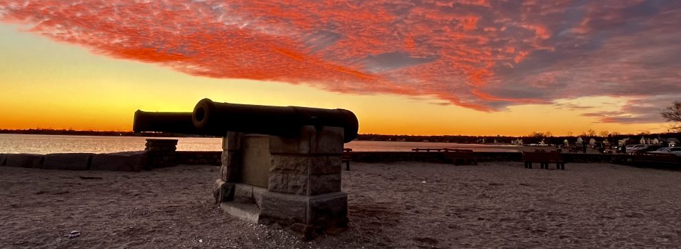
We avoided torrential rain. The 50-mph wind gusts never came.
Still, Westport did not escape today’s rains. And — with the moon nearly full — floods were reported all over town.
This is the new normal.

At Parker Harding Plaza, flood gates seem not to have been deployed. Water poured in to the nail salon. (Photo/Chip Stephens)
Additional flooding was reported at Wilton Road and Post Road West; Imperial Avenue near Baker Avenue, and Harbor and Canal Roads on Saugatuck Shores.
Tomorrow should be partly cloudy, with a high near 55. Winds will be 5-10 mph.


Hi Dan
Saugatuck Island was pretty much flooded. Several cars were damaged, lots of water entering garages. But some people enjoyed paddle boarding and kayaking
Notwithstanding the fact that the Police have cautioned drivers not to enter flooded areas it seems that folks with pickups and SUV’s love to test their cars by driving through the foot and a half of salt water seen in the photo in front of #4 Bradley Street. Their inconsiderate driving causes waves that inundate previously untouched garages and homes this one at #1 Bradley.
Propriety stops me from identifying them for what they are.
Another point is: Why are the pumps at Compo Beach by the yacht basin not working. They were intended to ameliorate flooding like we have experienced in the last few storms. Public Works what do you say???
I thought I remember public works saying they would only run the pumps after the storm not during. Otherwise you are pumping against Long Island Sound and will never win.
Westport is suffering greatly from flooding – so sorry about this – but how can we not implicate climate change ?
Tides have dropped 2.5 feet from the high level. The flooding still exists at the highest levels on Bradley Street and for all I know all over the beack area.
I am so sorry. When I heard on our news that New England might experience their first Northeaster of the year I was hoping that the predictions were wrong or that it wouldn’t be that bad. We do need to convince the “powers that be” that climate change needs to be addressed or at least considered.
And the good ship Chipper B is still getting pounded on Saugatuck Beach
DPW personellbusing a front loader cleared debris in front of #4 Bradley and the water quickly receded. We are now 5’ below the highest tide but nevertheless my backyard is completely flooded as a result of runoff from the nearby “hills” Bluewater et al. There was nothing in my backyard from the rain and then the “runoff”
I know you say this one missed us, but we recently moved to the sand on Fairfield Beach Road one town over, and after getting slammed today the guys from the town with the front loader clearing the road said today was second only to Sandy in their 20 years.
Maybe things are just getting worse?
We’ve lived at Compo Beach for 47 years. I rank the storms as follows as regards tidal flooding from worst down:
1. Sandy (highest)
2. Unnamed storm of 12/92 (1 ft lower)
3. Irene (2 ft lower)
Several in the “same” category (3+ ft lowe)
This storm 10/18
Unnamed storm 10/86
New Years Eve in late 70’s (flood hidden by snow)
Hurricane Agnes 7/72
Older storms in the 50’s (Connie and Diane) and of course the Hurricane of ‘38 were supposed to be as bad as Sandy but I wasn’t here to tell.
Anyone else have input or perspectives from other places on the water here in Westport?
Suggestion for the Main St business owners and Downtown Association, you might want to talk to the ‘power that be’ to seriously consider dredging sections of Saugatuck River to allievate the flood water pouring into the area. The water has no where to go.
Saugatuck River has really silted up over the last 40 years especially the last 25 years.
My guess is the work people have done to their properties along the river has created extra erosion and just regular runoff over the years from rain and severe storms has silted up the river and made it very shallow.
This was a triple threat storm full moon, high tide and a wind that pushed the water higher during high tide.
Flooding along Main St, Imperial Ave, Compo Beach, Compo Cove and Saugatuck Shores is nothing new. I do believe the shoreline has been altered by more sand from past storms making it shallow so the water rolls in easier. Taking into consideration the uptick of construction and landscaping to the areas above Compo on the hills which I believe is . Bluewater Hill, Compo Hill and Burnham Hill etc (correct me on names if incorrect) more water, erosion and debris is getting washed down into the beach area homes and property from the Minuteman Statue all the way around to Hillspoint and all properties south.